A Selection of Israel Maps
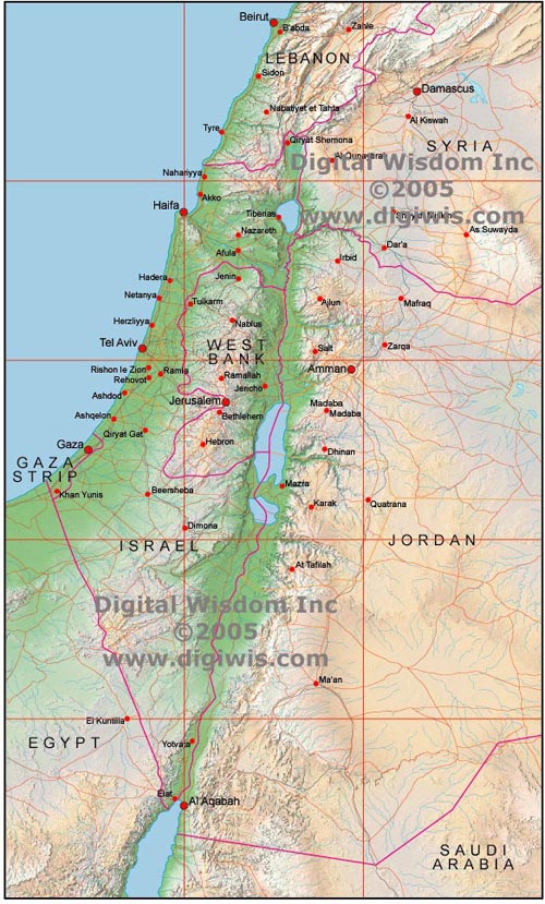
Illustrator EPS editable layered map of Israel with JPEG relief map on lowest layer set with transparency reduced.
Israel, West Bank, Gaza Strip and border areas of Lebanon, Syria, Jordan, Egypt and Saudi Arabia
3,600 X 6,000 pixels, giving 12 x 20 inches at 300 DPI relief or 36 x 60 inches at 100 DPI relief
|
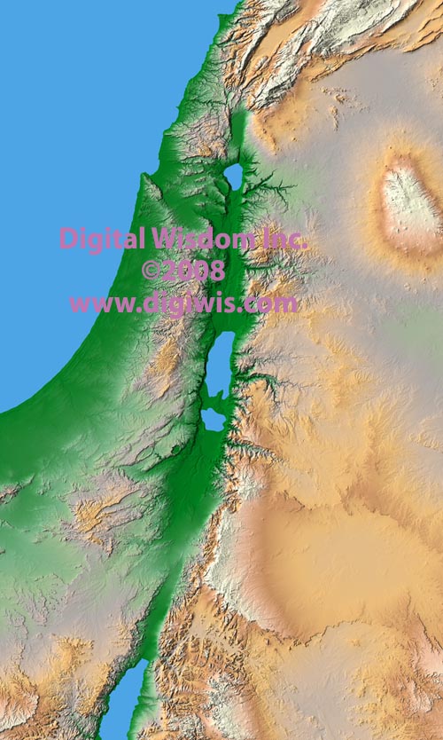
Relief map of Israel in JPEG format.
Israel, West Bank, Gaza Strip and border areas of Lebanon, Syria, Jordan, Egypt and Saudi Arabia
3,600 X 6,000 pixels, giving 12 x 20 inches at 300 DPI relief or 36 x 60 inches at 100 DPI relief
|

Any comments or problems with this
site? Please
let us know
- thank you!
© Digital Wisdom, Inc.
|